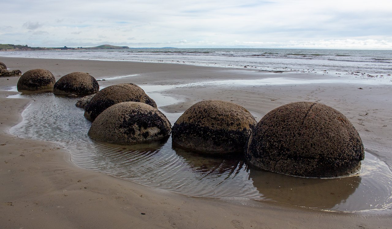
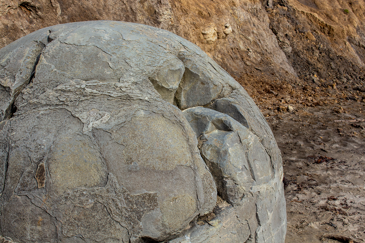
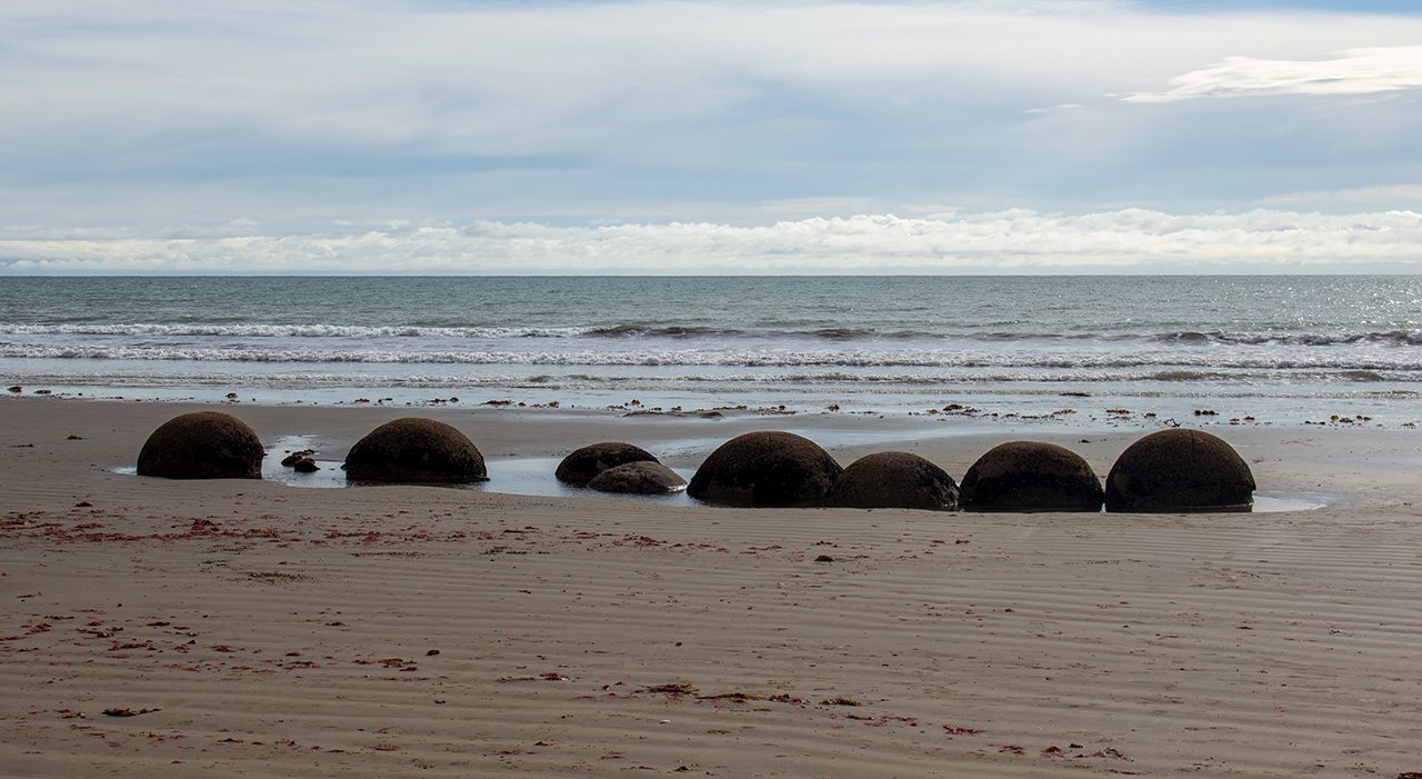
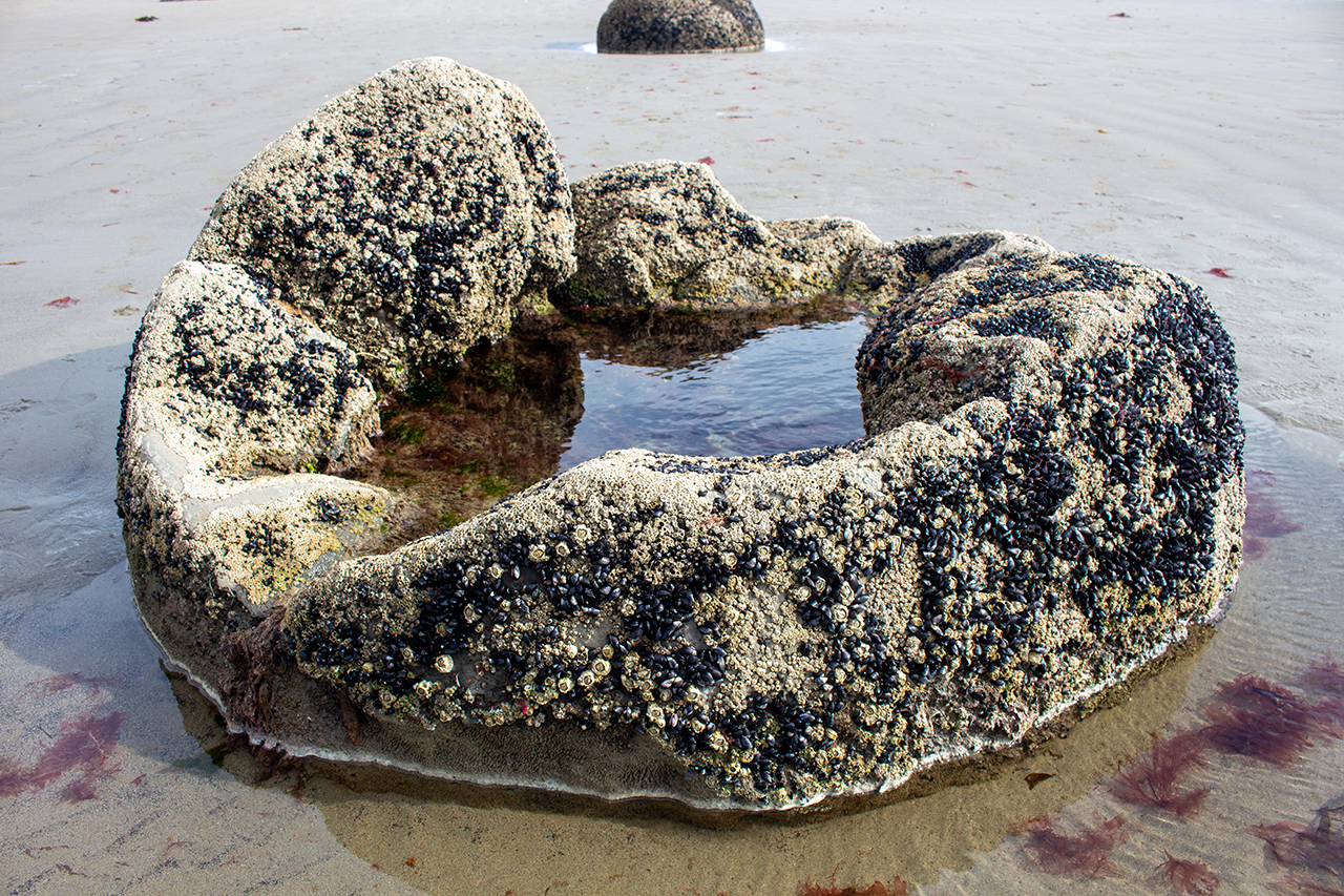
The longest single drive of the trip, I travelled south from Oamaru and stopped at Moeraki to have a look at the famous Moeraki Boulders (large spherical mudstone concretions formed by erosion).
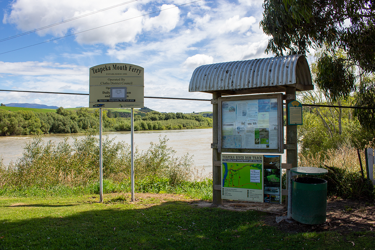
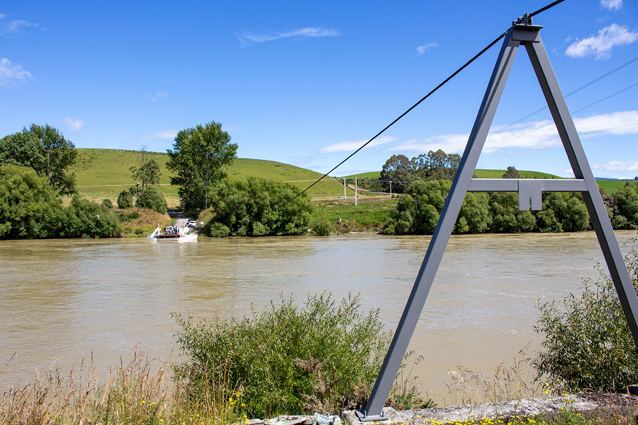
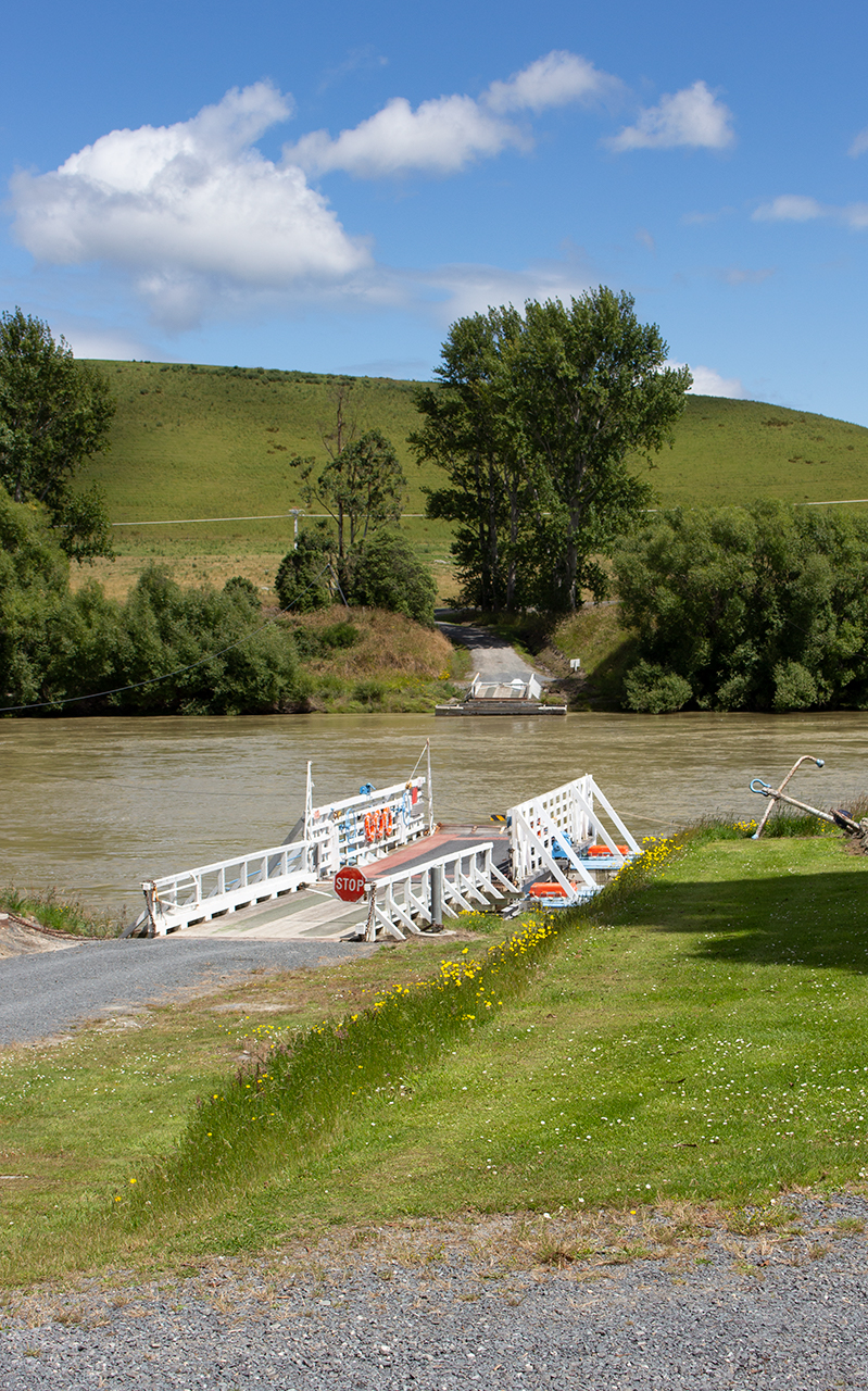
From there I continued south through Palmerston and Dunedin, Milton then Balclutha (the southernmost point of the trip) at which point I turned off the main road to head northwest along the Clutha River towards the tiny settlement of Tuapeka Mouth to see a very unique method of transportation.
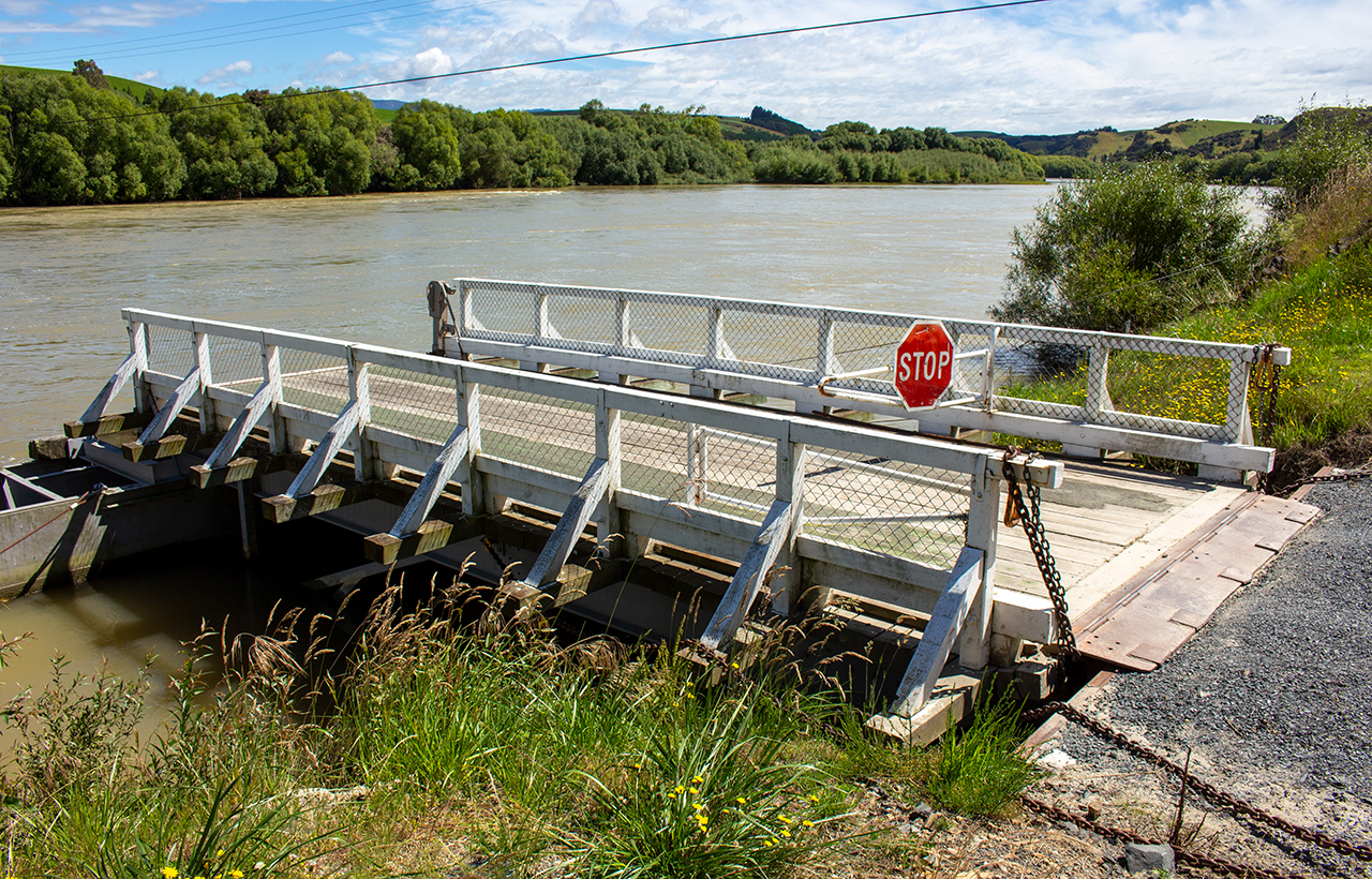
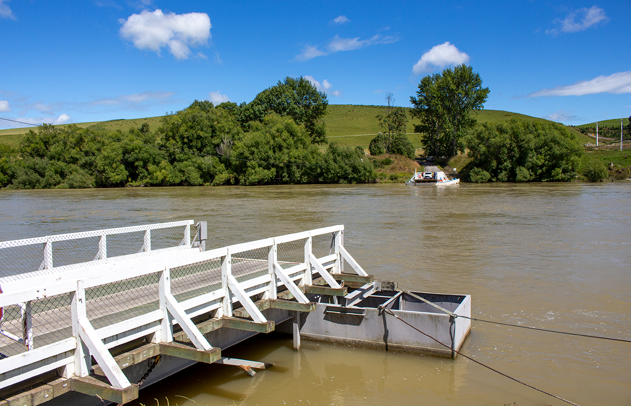
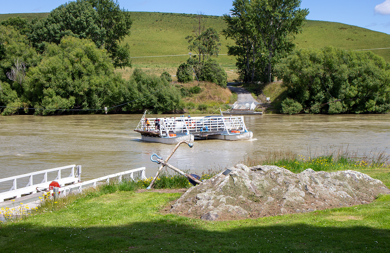
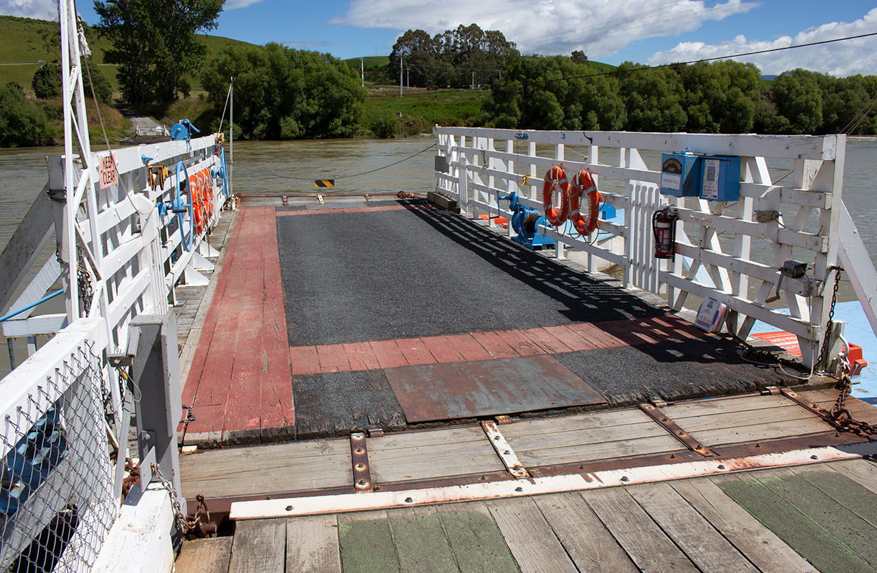
Tuapeka Mouth Ferry
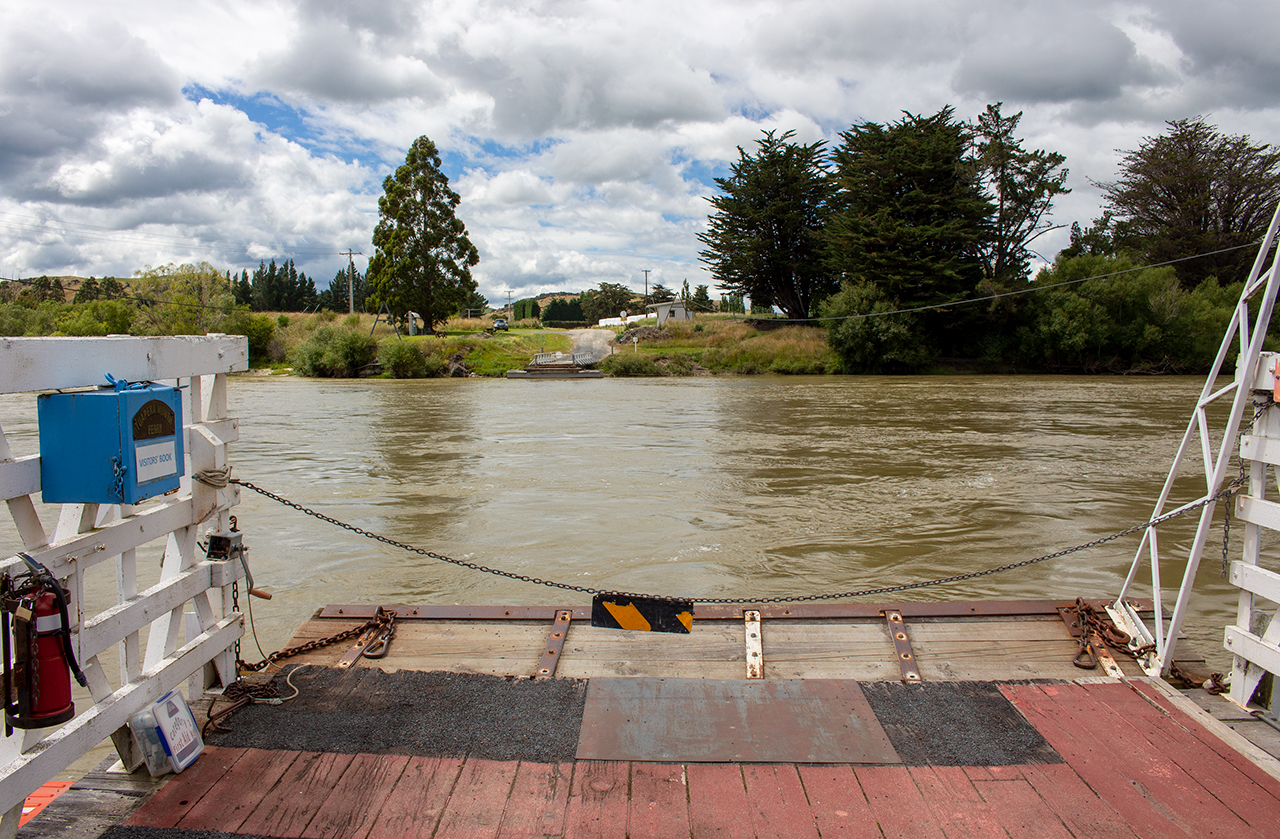
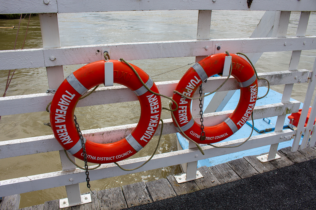
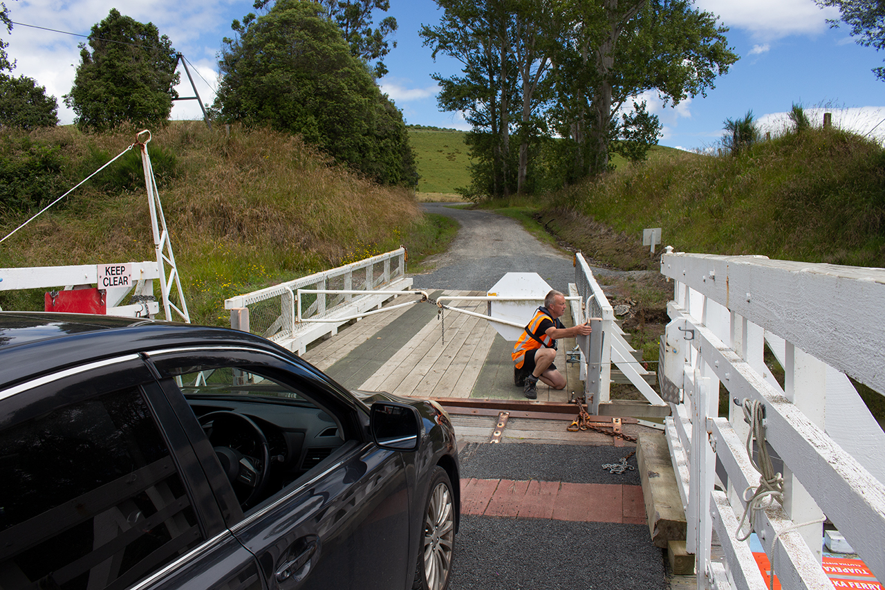
The only one of it’s kind in the Southern Hemisphere, the Tuapeka Mouth ferry is a “punt” – a completely unpowered ferry that uses suspended cables and the flow of the water to travel back and forth across the Clutha River. The punt has been in operation for over 125 years, and is capable of ferrying two cars plus passengers across the river.
Completely free to use, the ferry operates between 10am and 2pm, seven days, but is extremely weather- and river-dependent so it’s worth checking with the operator or on the Facebook page before visiting.
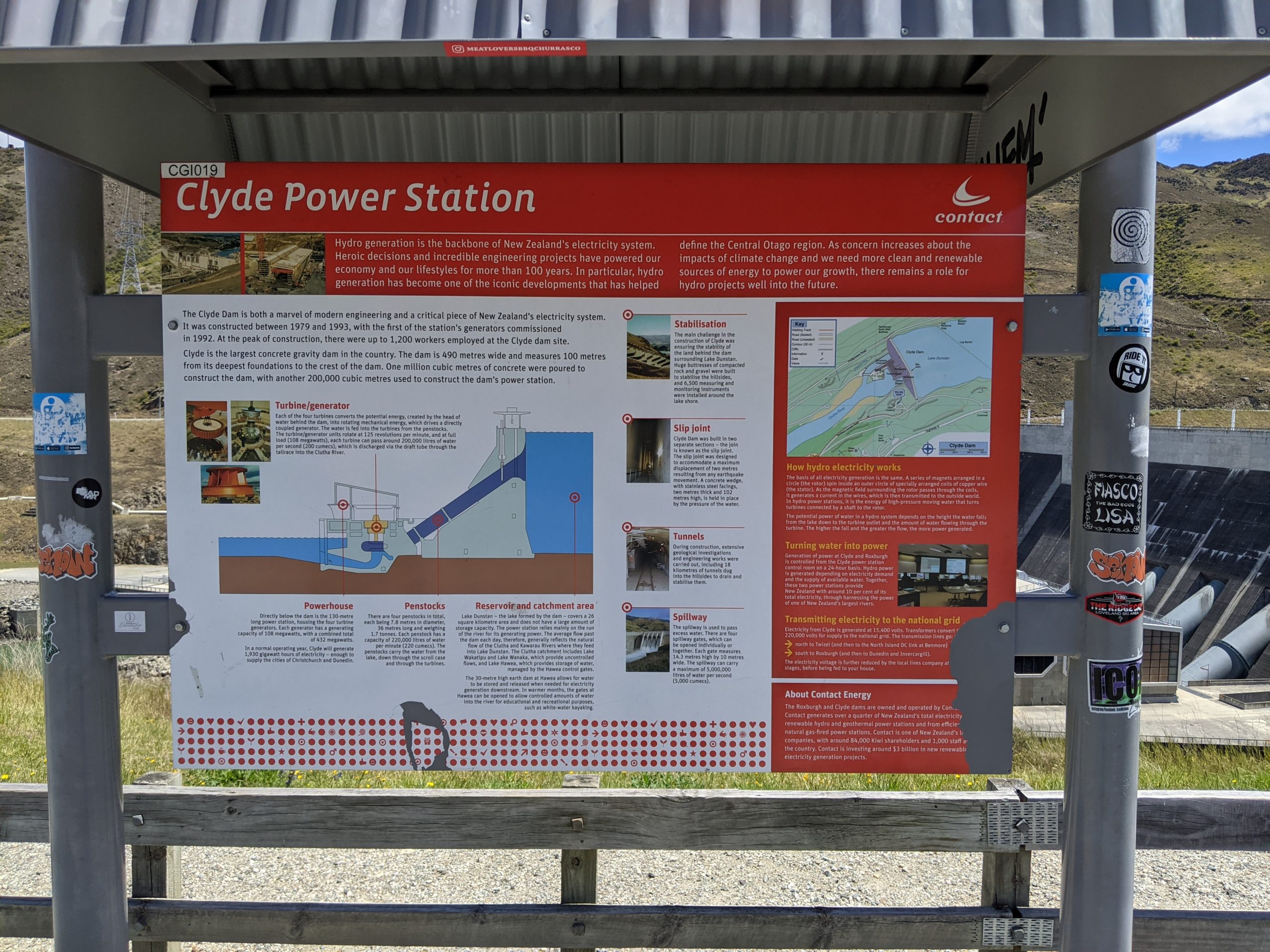
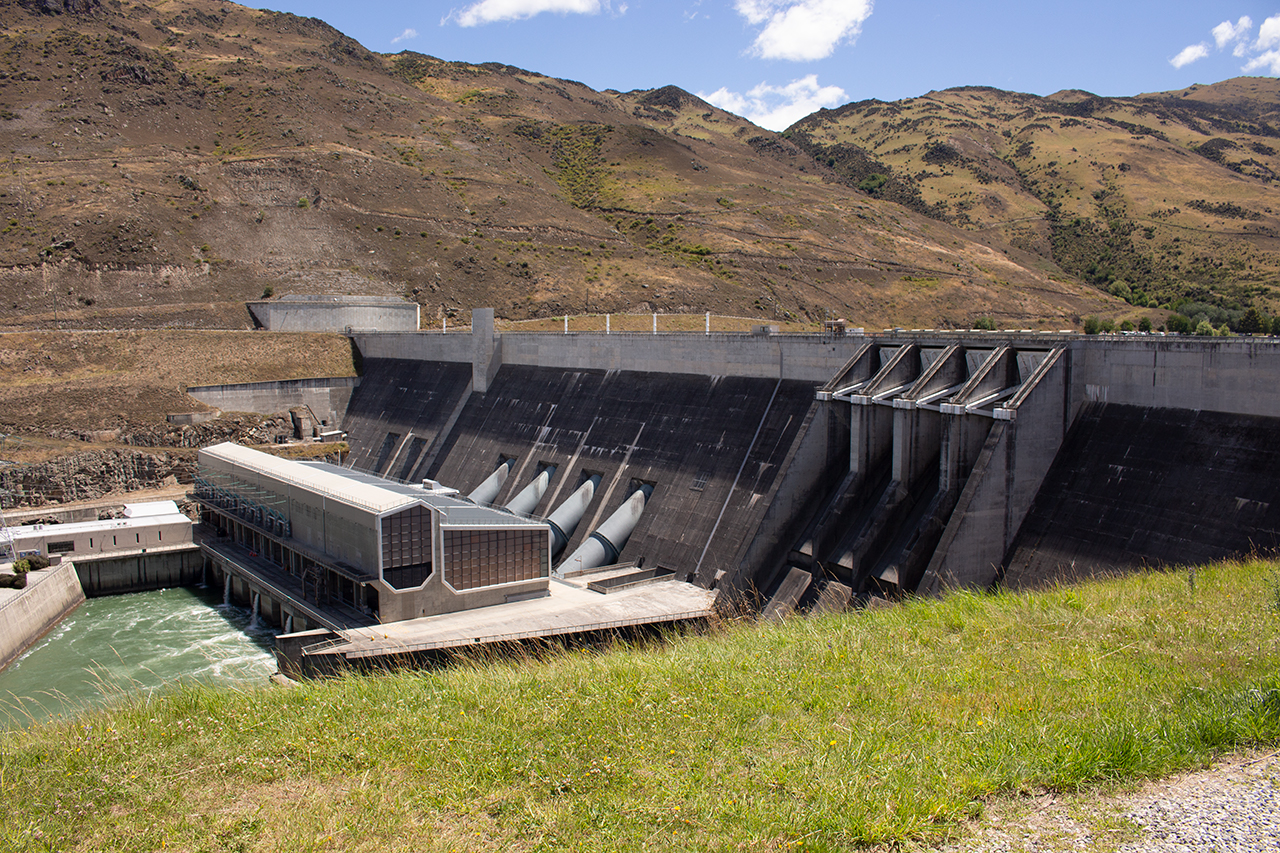
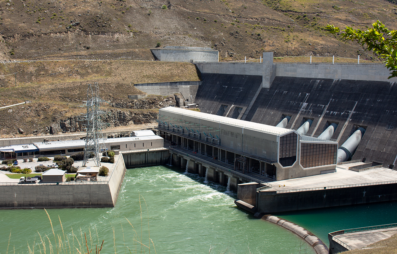
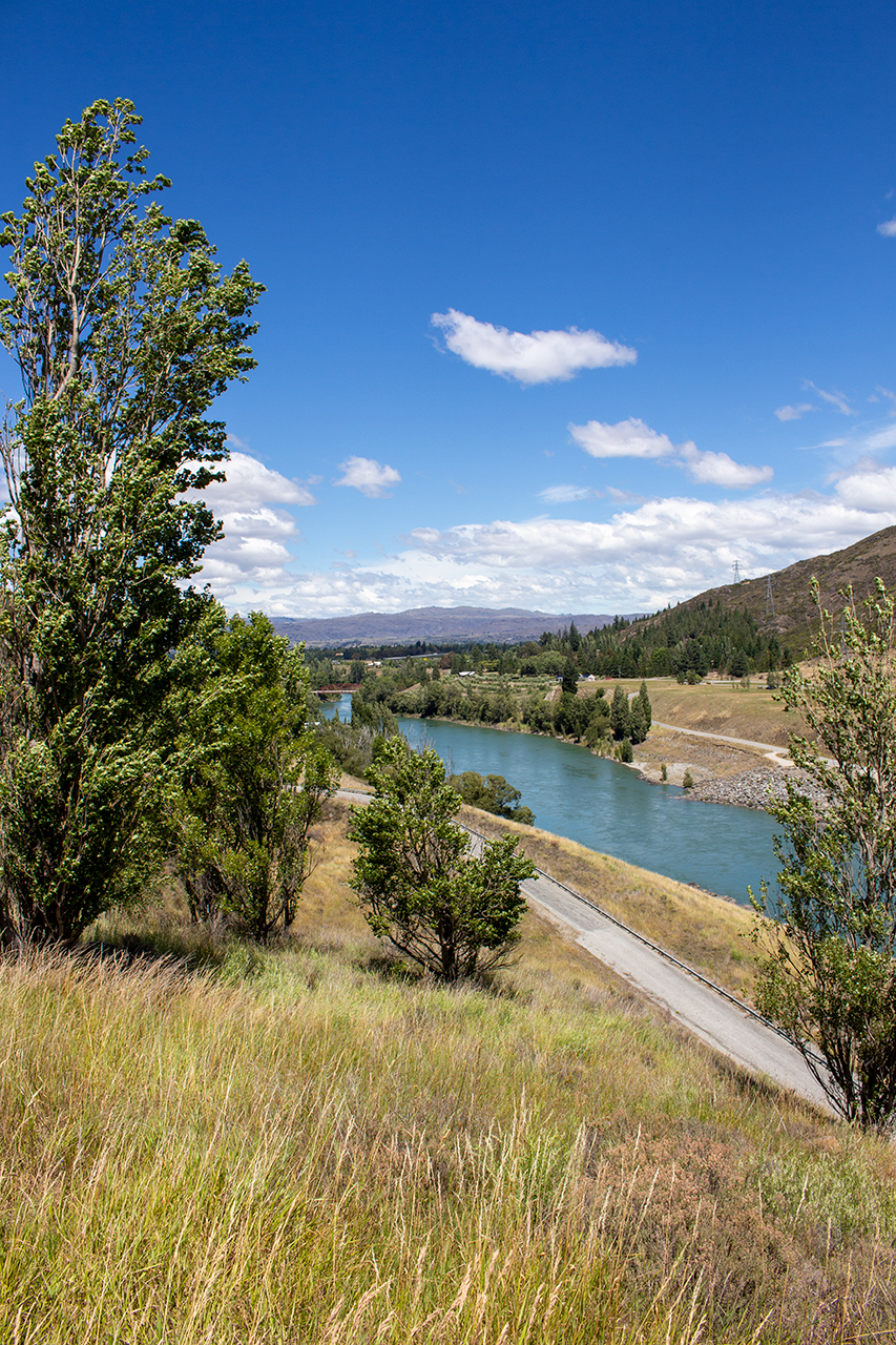
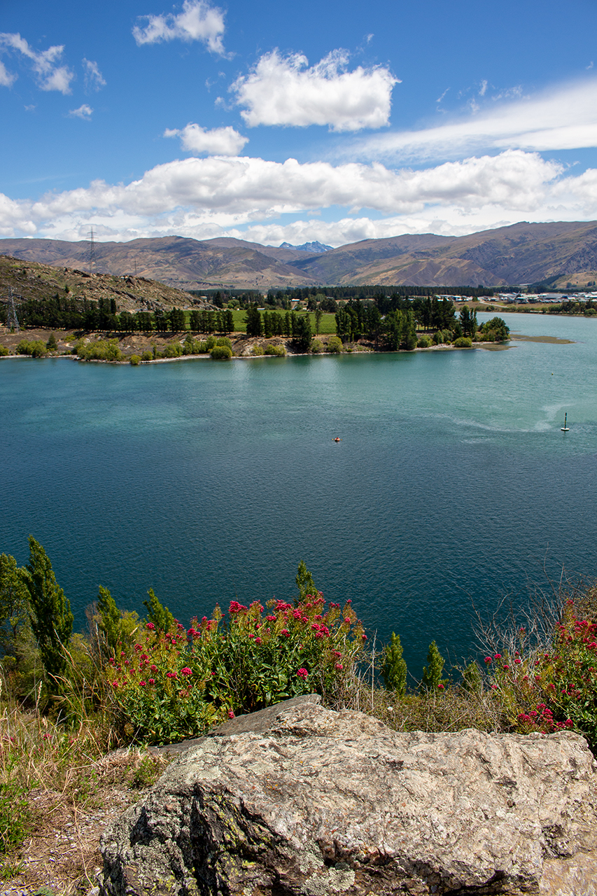
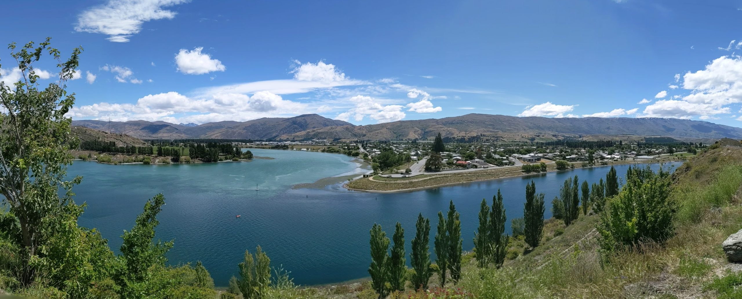
Once off the ferry it was continuing north, stopping at the Clyde Power Station and for some views of Cromwell, before continuing on to Lake Wanaka.
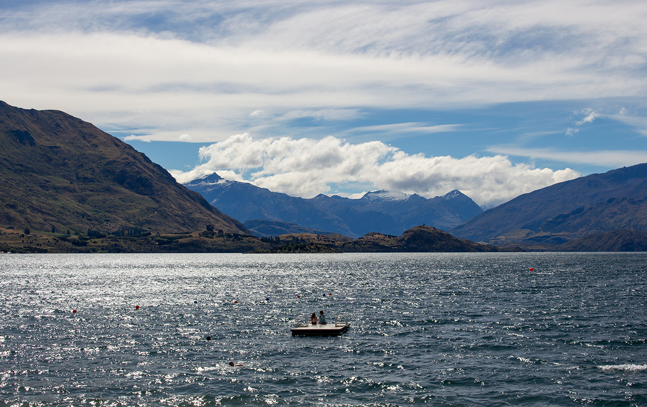
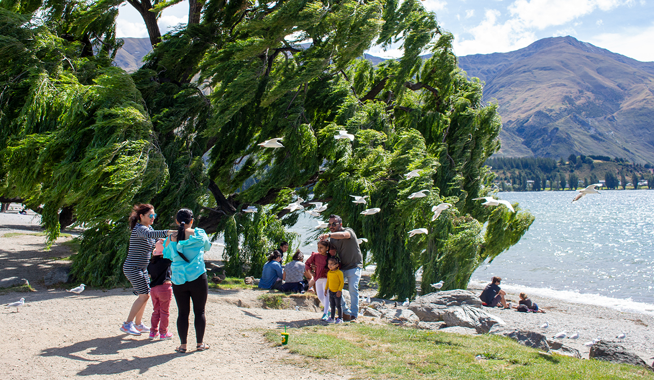
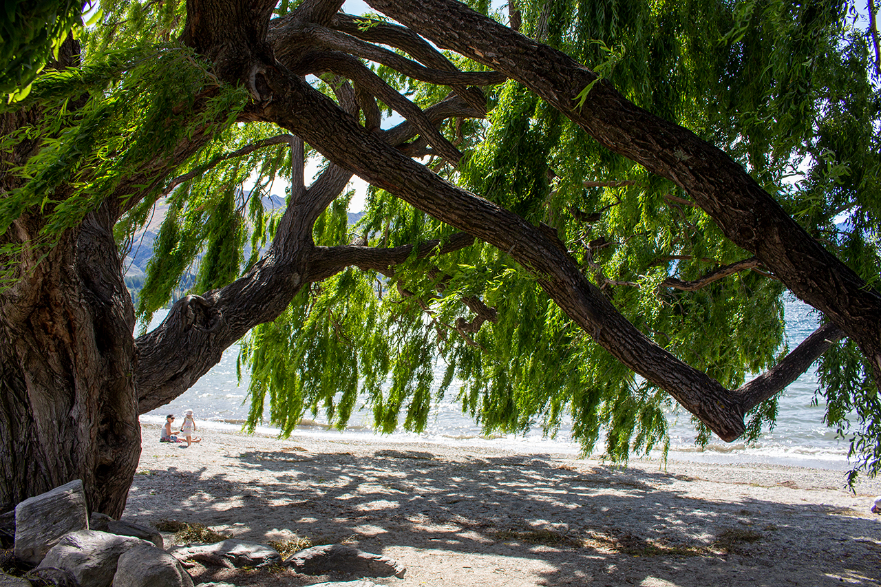
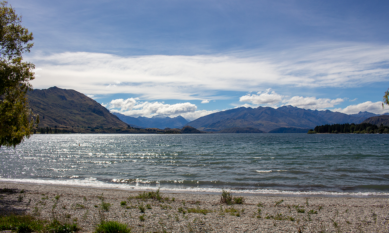
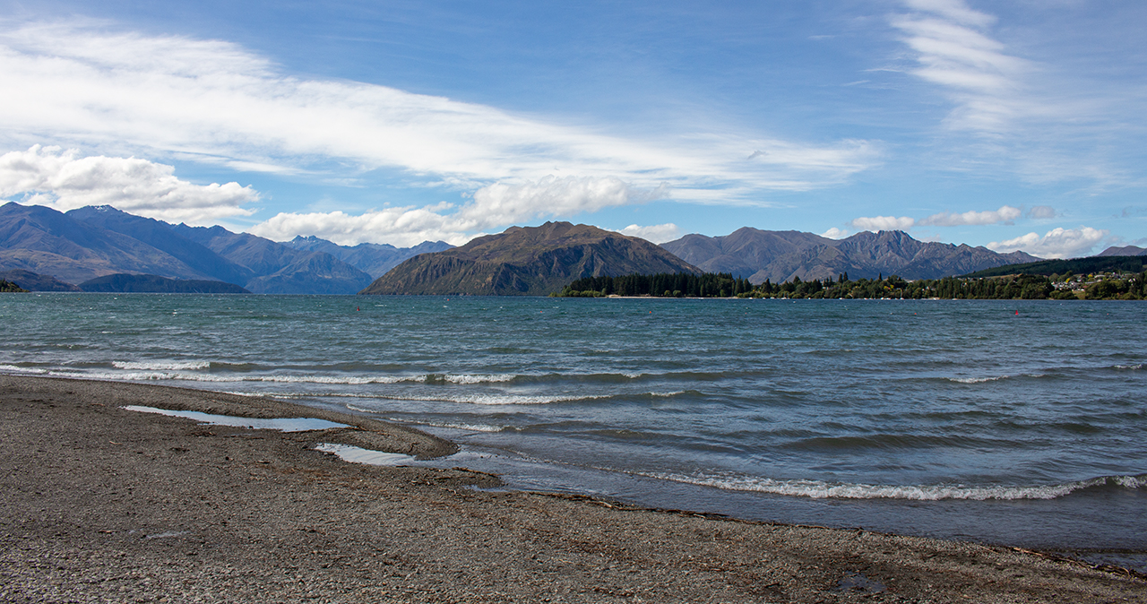
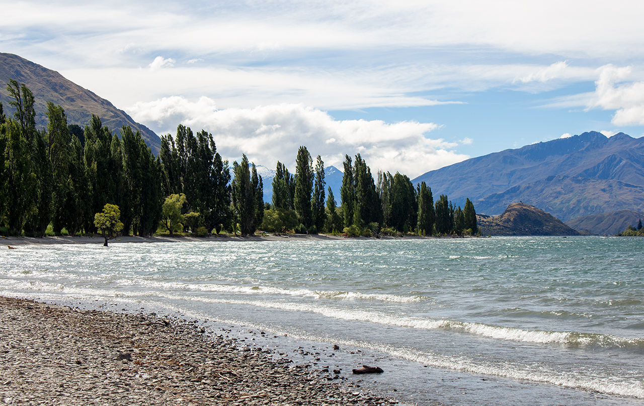
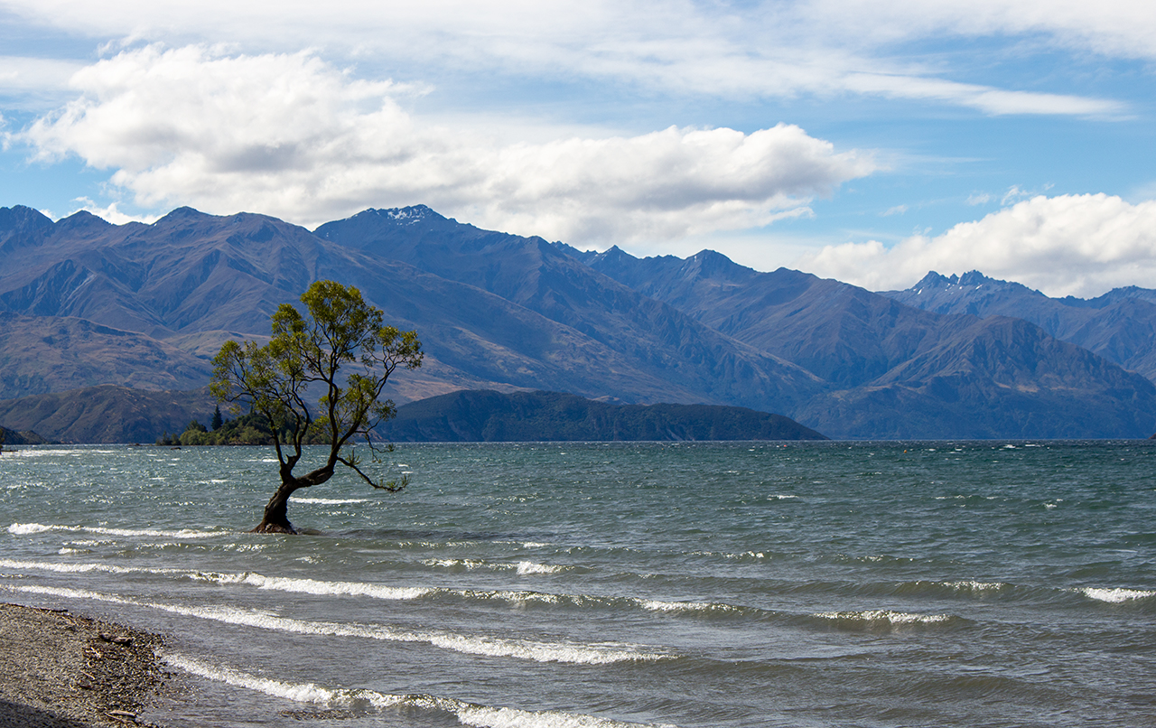
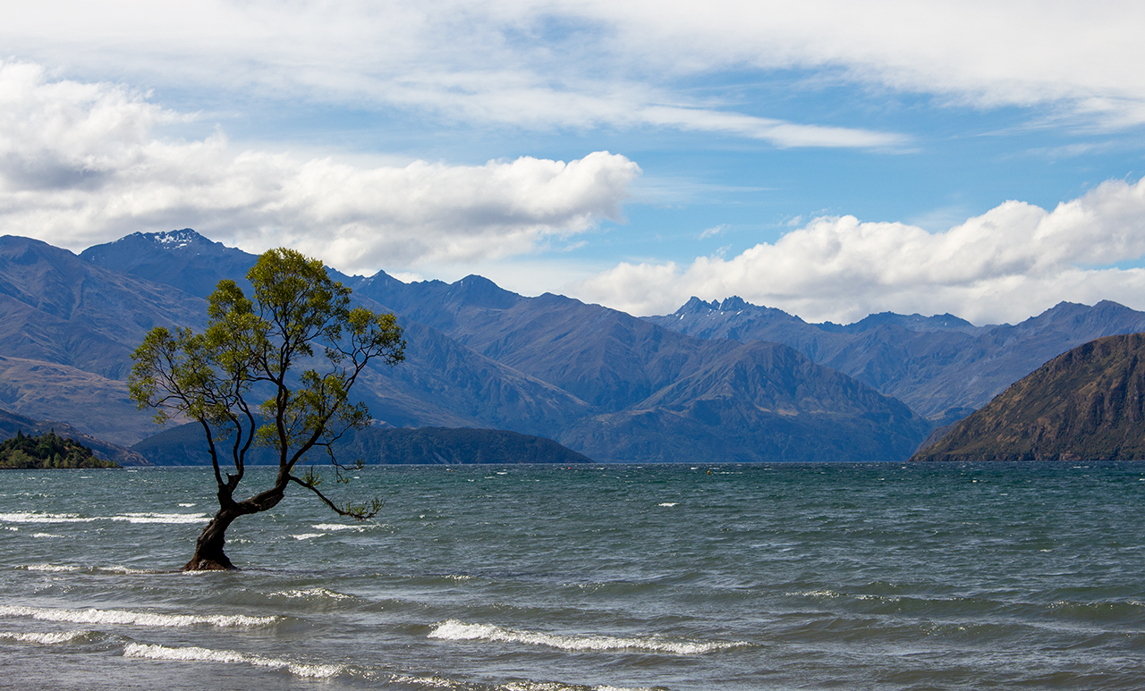
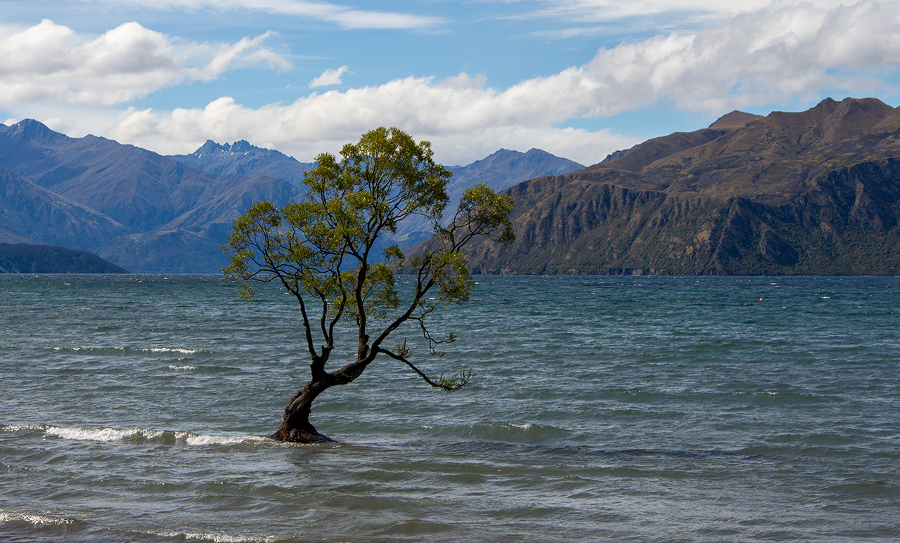
Lake Wanaka
Arriving in Wanaka at around 4pm I headed to the lake itself for photos, catching a flock of seagulls hovering in the air with the wind, picturesque lake views and of course, That Wanaka Tree.